

Skip to content

AI solution

Autonomous drone patrolpatrols and event verification

DJI Dock 2 and Matrice 3TD

Pair DJI Dock 2 with Matrice 3TD for scheduled patrols, alert verification and thermal observation in areas that fixed cameras cannot adequately cover.
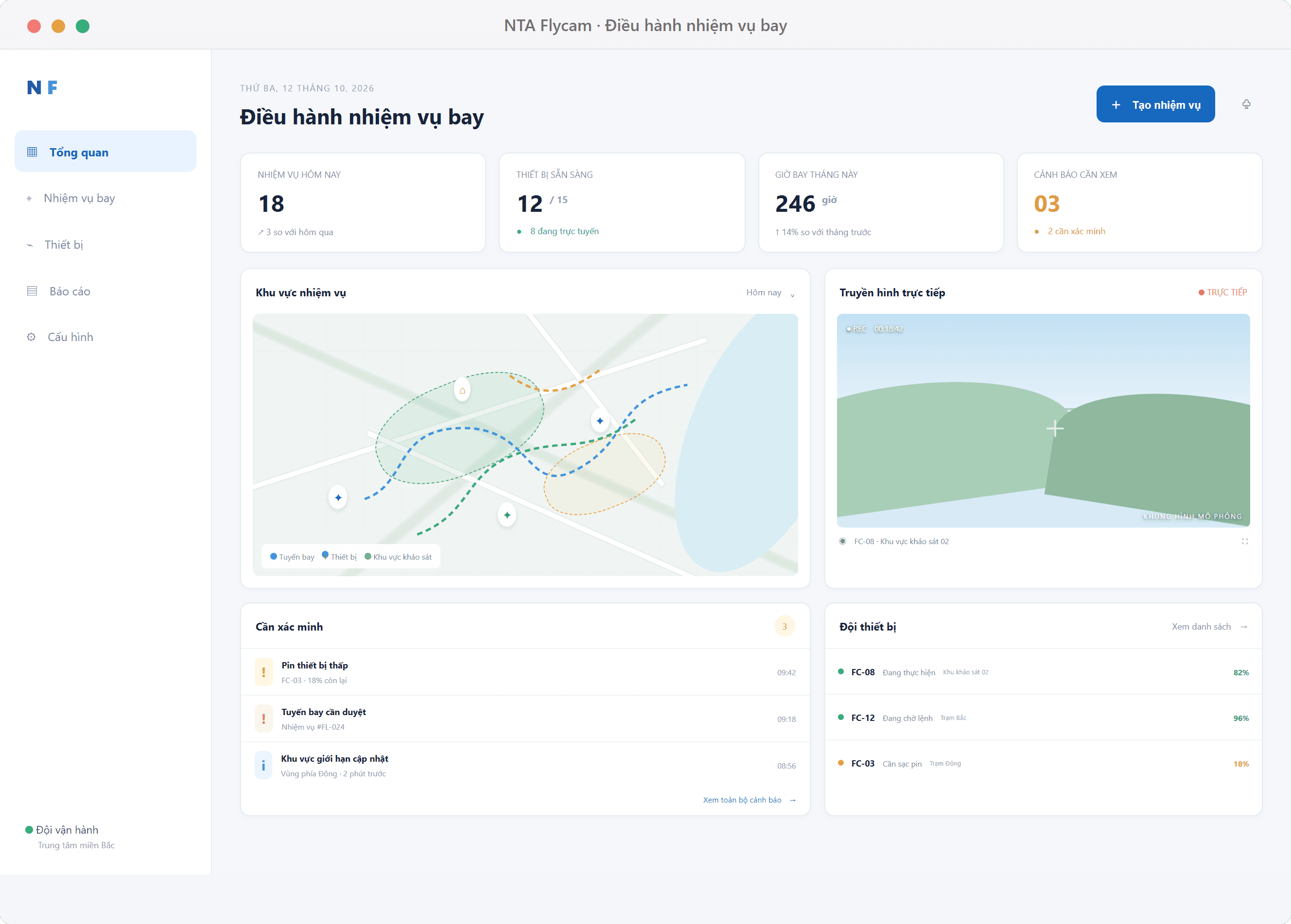
Illustrative interface — drone patrol operations and mission status dashboard
estimated response within approximately 1 km
1–2 min
effective working radius, including return travel
6 km
thermal camera resolution
640×512

Challenge

  • Fixed cameras still leave blind spots across wide areas.
  • Verifying an alert on site takes time.
  • Forests and heritage sites are hard to reach and hard to observe at night.

Solution

  • DJI Dock 2 takes off, lands and charges automatically at the station.
  • Matrice 3TD carries a 640×512 thermal camera, 28× zoom and a 12MP tele camera.
  • Patrols follow waypoints, schedules and routes designed for the site.

Benefit

  • A mobile view that fills gaps in camera coverage.
  • Supports event verification and nighttime thermal observation.
  • Patrols scheduled around priority zones and risk levels.
Features

Planned patrols, controlled response

  • Four patrol routes

    Routine, priority, night and event response. Each route has its own purpose.

  • Flight schedules by fire-risk level

    Daily flight counts adjust across levels I to V, with spare batteries and stations where needed.

  • Controlled triggers

    Events such as fire, smoke or restricted-area intrusion can require confirmation across several frames or by an operator before launch.

  • VMS and map integration

    Alerts from AI cameras and operational maps are connected through VMS and FlightHub 2.

Details

Use cases and solution details

Use cases

  • Inspect heritage sites, forests and hard-to-reach areas
  • Verify fire, intrusion or other AI camera alerts
  • Survey sites and create maps to support conservation

Equipment and observation capabilities

  • DJI Dock 2 is an automated takeoff and landing station; readiness after a command is about 45 seconds.
  • DJI Matrice 3TD includes a 640×512 thermal camera (1280×1024 UHR), 28× zoom, a 48MP wide camera and a 12MP tele camera.
  • Maximum flight time is listed as 50 minutes in windless conditions; a safe mission typically allows 35–40 minutes.
  • Maximum control range is 10 km. An effective working radius of about 6 km allows for outbound and return travel and observation.

Response time by distance

Estimates include about 45 seconds for takeoff and travel at an approximate mission speed of 15 m/s. Flight conditions and on-site operations can change actual timing.

  • 0.5 km: about 1.5 minutes; 1 km: about 2 minutes.
  • 3 km: about 4 minutes; 6 km: about 7–8 minutes.
  • 10 km: about 12 minutes of travel, but this is not the same as an effective round-trip mission radius.

Reachable area is not the same as area surveyed

Distinguish the area a drone can reach, the area scanned on one flight and the daily area covered on a schedule. Results depend on altitude, speed, image width, battery and priority zones.

  • A 6 km working radius corresponds to a geometric reach area of about 11,300 hectares; it does not mean the whole area has been observed.
  • One flight may scan an estimated 300–500 hectares at 80–120 m; confirm actual capability through site planning.
  • Daily coverage depends on flight count and risk level; a single flight is not a promise to scan the entire area.

Four patrol routes

  • A — Routine: waypoints along boundaries, paths, forest edges or fences.
  • B — Priority periods: focus on high-risk zones during peak hours, with scheduled thermal imagery where appropriate.
  • C — Night: thermal observation to verify intrusion or fire risk; a separate night-flight permit may be required.
  • D — Event response: dispatch the drone to an alert coordinate for verification.

Adapt patrols to fire-risk levels

This is a planning reference and must be adjusted for legal requirements, weather, staffing and station capacity.

  • Levels I–II: about 1–3 flights per day, focused on routine patrol and priority zones.
  • Level III: about 3–4 flights per day, adding priority routes and suitable thermal patrols.
  • Level IV: about 5–6 flights per day; spare batteries/drones or an additional station may be needed.
  • Level V: about 8–12 flights per day under a rotation plan; two overlapping stations are proposed.

Controlled event triggers

  • Prioritize events such as fire/smoke, restricted-area intrusion, excavation or fights according to the sector configuration.
  • Require confirmation across multiple frames, a second camera or an operator before launch where appropriate.
  • An operator remains the final decision-maker in confirmation mode; every launch or skipped launch is logged.
FAQ

Frequently asked questions

Can a drone replace fixed cameras?

No. A drone is a mobile complement for camera blind spots, incident verification, thermal observation and 3D surveys.

Where does the 1–2 minute response estimate apply?

About 1–2 minutes applies close to the station, roughly 0.5–1 km. The estimate is about 4 minutes at 3 km and 7–8 minutes at 6 km.

Can one station fly continuously all day?

Do not assume continuous flight. Each flight needs safe flight time, charging and pre-flight checks; schedules must reflect the operating cycle and battery reserves.

Can it fly at night or in bad weather?

Night flights may require separate permits. Do not fly in rain or when wind exceeds the equipment's operating limits.

Talk to us about drone patrols for your area

We survey the area to design routes, flight schedules and the right number of stations.

Talk to us

Related case study

Proposed AI camera and drone plan for the Óc Eo – Ba Thê heritage site

View case study

Get a consultation

Enter 2-100 characters.

Enter an email address so we can reply.

Enter 10-2000 characters.